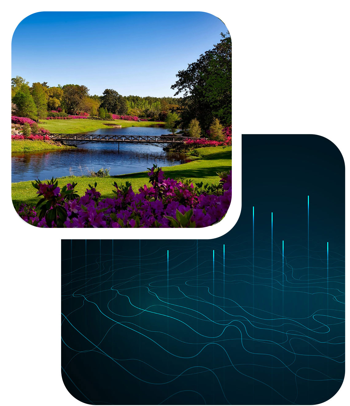
Understand, model, and act on water challenges
Hydr’Avatar is a digital twin project dedicated to high-resolution hydrology. By integrating satellite data, in situ observations, and advanced modeling, it offers innovative tools for monitoring, forecasting, and managing water resources.
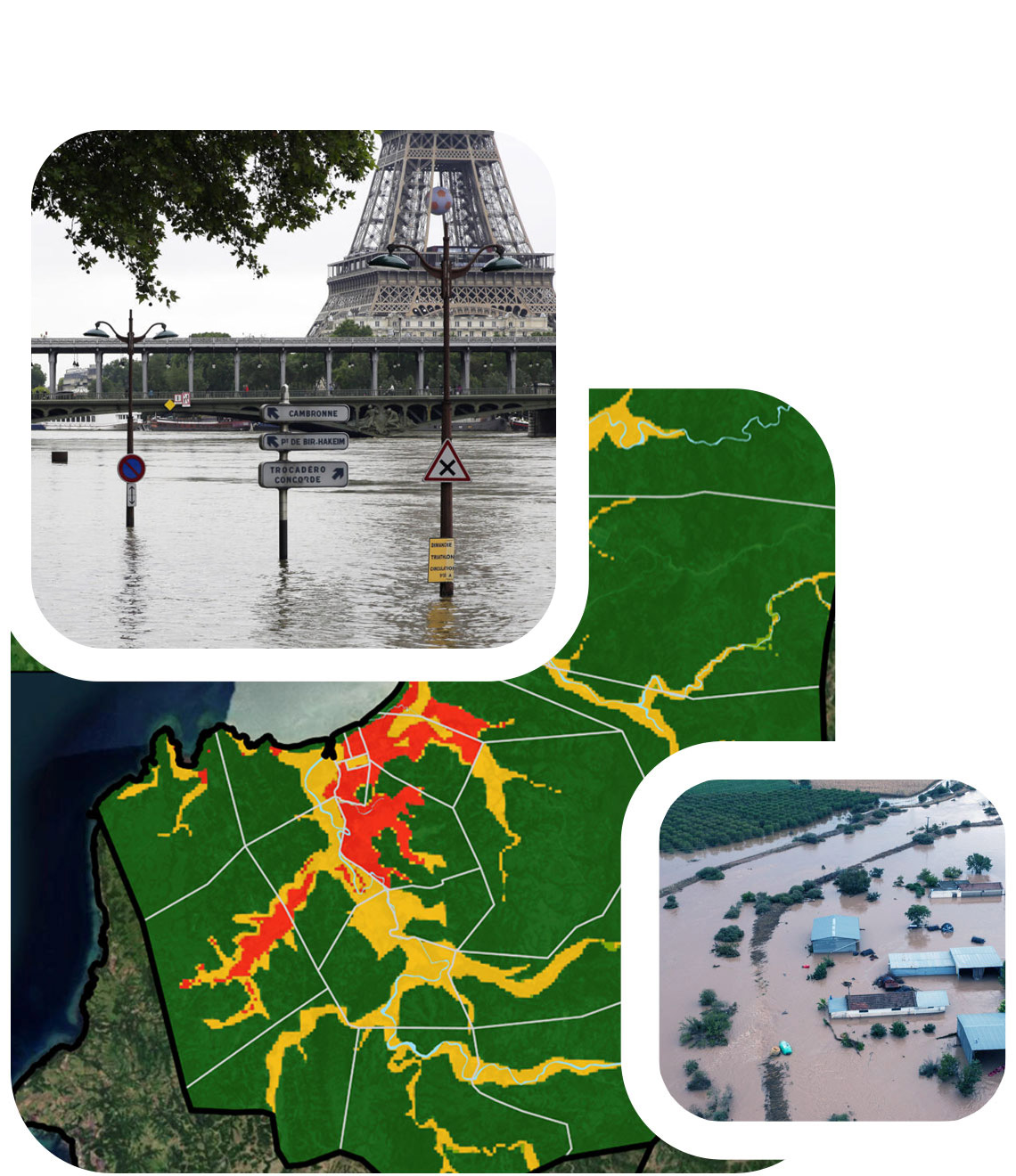
In the face of growing challenges related to climate change, Hydr’Avatar helps better understand hydrological phenomena such as floods and droughts, enabling proactive measures to mitigate their impacts.
Tools designed for scientists and decision-makers
Hydr’Avatar combines breakthroughs in artificial intelligence, data assimilation, and hydrological modeling to deliver detailed analyses at various scales. The project leverages multi-source data from satellites (Sentinel, SWOT), ground stations, and other sensors. These data are transformed into actionable insights using sophisticated algorithms and intuitive visualizations. Hydr’Avatar provides robust solutions for managing water-related risks, including floods and droughts.
From research to operational management
Hydr’Avatar has applications in diverse fields: flood management, water resource forecasting, monitoring of ungauged basins, and analyzing the impacts of climate change. It enables local authorities, basin agencies, and decision-makers to better assess risks and make informed decisions. Additionally, its analysis and visualization tools foster collaboration between scientists and managers for more effective interventions.
A collective effort for the future
Hydr’Avatar brings together key players: researchers, engineers, data scientists, and decision-makers. Partners include Hydro Matters, INRAE, SERTIT, RSS-Hydro, CERFACS, IMT, IMFT, INP, LEGOS, Magellium, Vortex-IO and CS Group, all working collaboratively to maximize the project’s impact. This multidisciplinary cooperation ensures reliable and applicable results while paving the way for new initiatives in digital hydrology.