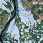
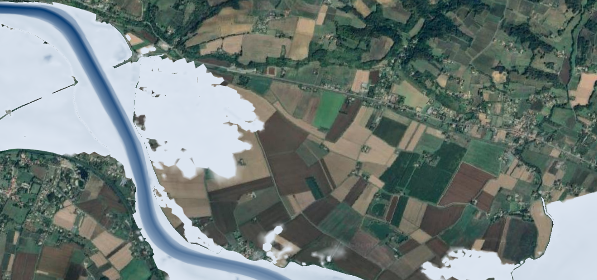
Numerical simulation of flood events often focuses on rising water levels, which are responsible for the most significant risks. For this reason, research has been conducted to describe wave propagation and determine the best ways to reproduce it: numerical models, mesh constraints, etc. However, it may also be important to know the duration of submersion, which will generate different costs depending on whether it is short (a few hours) or long (several days). In the case of receding waters, the dynamics may be governed primarily by other phenomena such as infiltration and evaporation or drainage networks. This last point is particularly important in the case of the Garonne, where water can remain trapped behind dikes after a flood. Satellite images show that flooded areas recede more quickly in reality than in simulations. This can be explained by the presence of drainage structures (floodgates, pumping stations (Figure 1)) and a network of ditches that conduct water to the river.
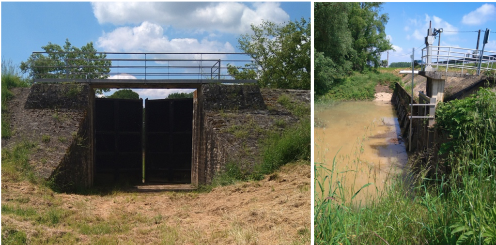
Figure 1: flood gate and pumping station through river bank and dike
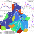
The developments carried out within the project will, on the one hand, integrate these structures into numerical models Telemac2D and, on the other hand, use remote sensing images and databases to build a mesh capable of accurately describing drainage without increasing the number of calculation nodes too much. For the first one, we will integrate and adapt the discharge laws available in Telemac. It will be possible to activate the flows based on the water levels in the floodplain and the river. This will enable us to simulate the automatic behavior of gates or manual operation of pumping. For the second point, we will seek to detect the characteristic constraint lines of the drainage network on the topography.
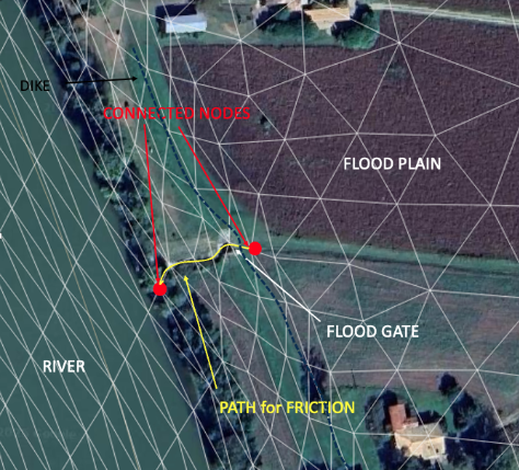
Figure 2: implementation of the flood gate into the numerical model
In the next part, we will see how taking these structures into account reduces the gap between simulated and observed flood levels in the floodplain. We will use the example of the 2021 overflow floods.